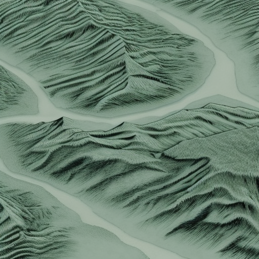
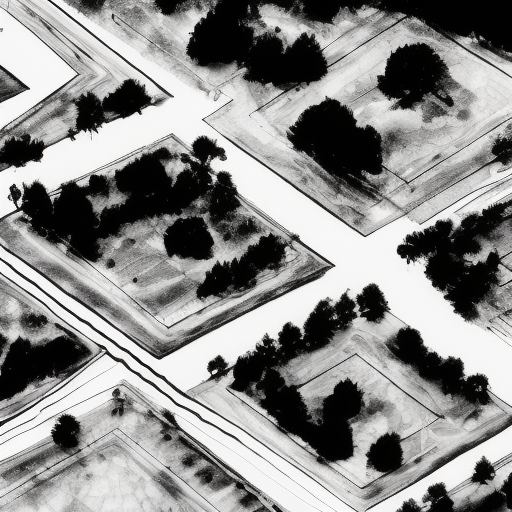
The use of drones to provide aerial lidar (Light Detection and Ranging) surveys has become increasingly popular in recent years as a tool for gathering data about the earth’s surface. Its ability to penetrate vegetation canopies and create detailed 3D models of terrain makes it an ideal choice for many applications. However, aerial lidar does have several limitations that are important to understand before using it for analysis.
At Pathfinder we take pride in offering independent advise on the best and / or the most cost effective solutions for your survey. You can read more about our survey solutions here.

One main limitation is that it is not very effective at extracting detailed information for smaller of high definition feature extraction. While the accuracy of lidar data can be quite good, it still cannot provide the same level of detail as other tools such as aerial photogrammetry, terrestrial laser scanning or traditional survey methods. This means that while lidar may be great for larger scale analyses, such as assessing topography in areas of significant of vegetation cover, it is not always suitable for finer details such as kerb lines, ridges, drains etc.
Cost is also a significant factor when considering using aerial lidar for a particular project. The acquisition cost and processing time can vary greatly depending on how much data needs to be collected and how complex the terrain is. Whilst cheaper solutions have recently come to market, there is very much a “pay for what you get” issue where lower end units do not provide the vegetations penetration or accuracy of the higher end units which can easily run into the hundreds of thousands of pounds.
Understanding these limitations will help ensure that you get the most out of your data and coming to Pathfinder will help you understand the cost/benefits of different survey methodologies.

Currently there is LiDAR data available for free in the UK, provided by the Ordnance Survey which is estimated to be accurate to about 0.5m in the vertical. This is ideal for people undertaking large scale hydrology, terrain modelling or landscape design projects however on the smaller scale for specific regions it often falls short of the requirements. If this matches your requirements, you head to the gov.uk website and download it for free.
At Pathfinder we can help you with small to medium area surveys which can be made cheaper and more accurate with the use of drones over traditional plane borne LiDAR.
If you’re interested in finding out more, give us a call on 01329 887337 or email us at info@pathfinderdrone.co.uk
